Research Group
สวัสดีจ้า
เทคโนโลยี GIS ขั้นสูง (AGT)
Members
รศ.ดร. งามนิจ อาจอินทร์
รศ.ดร. ชัยพล กีรติกสิกร
เทคโนโลยี GIS ขั้นสูง (AGT)
เทคโนโลยี GIS ขั้นสูง (AGT)
Members
รศ.ดร. งามนิจ อาจอินทร์
รศ.ดร. ชัยพล กีรติกสิกร
รศ.ดร. สมจิตร อาจอินทร์
กลุ่มปฏิบัติการเทคโนโลยีภูมิสารสนเทศขั้นสูง (AGT)
เพื่อดำเนินการศึกษาและวิจัยขั้นสูงโดยใช้เทคโนโลยีภูมิสารสนเทศและวิทยาการข้อมูลเชิงพื้นที่ในการ รวบรวม วิเคราะห์ และแสดงผลข้อมูลเชิงพื้นที่เพื่อการติดตามและแก้ปัญหาต่างๆ ของโลก
Members
ผศ.ดร. พิพัธน์ เรืองแสง
รศ.ดร. ชัยพล กีรติกสิกร
ผศ.ดร. ณกร วัฒนกิจ
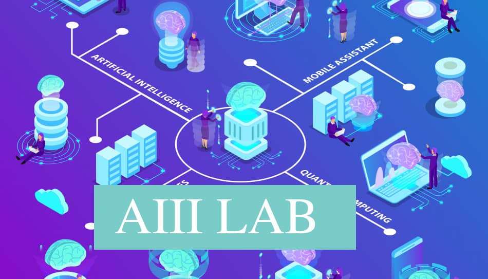
การบูรณาการสหวิทยาการอัจฉริยะขั้นสูง (AIII)
เป้าหมายของห้องปฏิบัติการบูรณาการสหวิทยาการอัจฉริยะขั้นสูงคือการพัฒนาคอมพิวเตอร์อัจฉริยะและใช้มันในโดเมนสหวิทยาการที่หลากหลาย
Members
รศ.ดร. งามนิจ อาจอินทร์
ศ.ดร. จักรชัย โสอินทร์
รศ.ดร. สมจิตร อาจอินทร์
กลุ่มวิจัยการคำนวณแบบฉลาดชั้นนำ (ASC)
เพื่อการพัฒนารากฐานการคำนวณทางคอมพิวเตอร์ขั้นสูงและการประยุกต์ใช้งาน
Members
ผศ.ดร. คำรณ สุนัติ
รศ.ดร. สิรภัทร เชี่ยวชาญวัฒนา
รศ.ดร. ปัญญาพล หอระตะ
การประยุกต์อัฉริยะและการวิเคราะห์ข้อมูล (AIDA)
กลุ่มงานวิจัยนี้ได้เกิดจากการบูรณาการงานวิจัยจากหลากหลายสาขา เช่น งานวิจัยด้านวิทยาศาสตร์ข้อมูลและการวิเคราะห์ข้อมูล (Data Science & Data Analytics) เหมืองข้อมูล (Data Mining) เหมืองข้อความ (Text Mining) เหมืองความคิด (Opinion Mining) ธุรกิจอัฉริยะ (Business Intelligence) ระบบการวางแผนจัดการห่วงโซ่อุปทาน (ERP Systems) การบริหารด้านเทคโนโลยีสารสนเทศ...
Members
รศ.ดร. งามนิจ อาจอินทร์
ผศ.ดร. วรารัตน์ สงฆ์แป้น
ผศ.ดร. อุรฉัตร โคแก้ว
ผศ.ดร. ปวีณา วันชัย
ผศ.ดร. มัลลิกา วัฒนะ
อ.ดร. วรัญญา วรรณศรี
ห้องปฏิบัติการเทคโนโลยีเครือข่ายประยุกต์ (ANT)
กลุ่มวิจัย ANT มีจุดมุ่งหมายเพื่อพัฒนาเทคโนโลยีเครือข่ายที่ทันสมัยความปลอดภัยทางไซเบอร์และการประมวลผลข้อมูลขั้นสูงในขณะที่รวมเทคโนโลยีเหล่านี้เข้ากับอุตสาหกรรมต่าง ๆ และสนับสนุนการพัฒนาทรัพยากรมนุษย์เพื่อใช้ความรู้ในการใช้งานจริง
Members
รศ.ดร. สมจิตร อาจอินทร์
อ.ดร. ไพรสันต์ ผดุงเวียง
รศ.ดร. ชัยพล กีรติกสิกร
ห้องปฏิบัติการอินเตอร์เฟสระหว่างฮาร์ดแวร์กับมนุษย์และการสื่อสาร (H²I-Comm)
กลุ่มวิจัยฮาร์ดแวร์-มนุษย์และการสื่อสาร (H2I-COMM) กลุ่มวิจัยคือการออกแบบสร้างและประเมินเครื่องมือที่ใช้งานง่ายมีประโยชน์และเป็นนวัตกรรม เป้าหมายทางปัญญาของเราในการพัฒนาเทคโนโลยีอินเทอร์เน็ตการสื่อสารไร้สายการเข้ารหัสและความปลอดภัยหุ่นยนต์การประมวลผลสัญญาณดิจิตอลสำหรับหุ่นยนต์การออกแบบ UX/UI การคำนวณทางสังคมสารสนเทศด้านสุขภาพ กลุ่มวิจัย H2I-COMM มุ...
Members
ศ.ดร. จักรชัย โสอินทร์
รศ.ดร. ชัยพล กีรติกสิกร
อ.ดร. วชิราวุธ ธรรมวิเศษ
กลุ่มวิจัยวิศวกรรมซอฟต์แวร์อัจฉริยะ (I-SERG)
กลุ่มวิจัยวิศวกรรมซอฟต์แวร์อัจฉริยะมุ่งเน้นไปที่การวิจัยเชิงประจักษ์ หัวข้อที่น่าสนใจ ได้แก่ AI4SE, SE4AI, การคำนวณข่าวกรองสำหรับวิศวกรรมซอฟต์แวร์, การตรวจสอบอย่างเป็นทางการ, การวิเคราะห์ซอฟต์แวร์, คุณภาพซอฟต์แวร์, วิศวกรรมซอฟต์แวร์ที่ปลอดภัยและแนวทางปฏิบัติในการพัฒนาซอฟต์แวร์
Members
รศ.ดร. ชัยพล กีรติกสิกร
ผศ.ดร. พุธษดี ศิริแสงตระกูล
ผศ.ดร. สายยัญ สายยศ
ห้องปฏิบัติการวิจัย การเรียนรู้ของเครื่องและระบบอัจฉริยะ (MLIS)
เพื่อพัฒนาอัลกอริธึมการเรียนรู้ของเครื่องและระบบอัจฉริยะเพื่อรองรับการประมวลผลข้อมูลขนาดใหญ่ การตัดสินใจแบบเรียลไทม์ และระบบอัตโนมัติที่ทำงานได้อย่างอิสระ เพื่อตอบสนองความต้องการในอุตสาหกรรม เช่น การเงิน การดูแลสุขภาพ และการขนส่ง โดยเน้นเพิ่มประสิทธิภาพ ความแม่นยำ และลดต้นทุนผ่านเทคโนโลยีอัจฉริยะ
Members
ศ.ดร. ศาสตรา วงศ์ธนวสุ
ผศ. สันติ ทินตะนัย
อ.ดร. วชิราวุธ ธรรมวิเศษ